Media Advisory: ‘UC Davis LIVE’ on Mitigating Wildfire Hazards for Homes and Communities
Written by Andy Fell, September 27, 2021
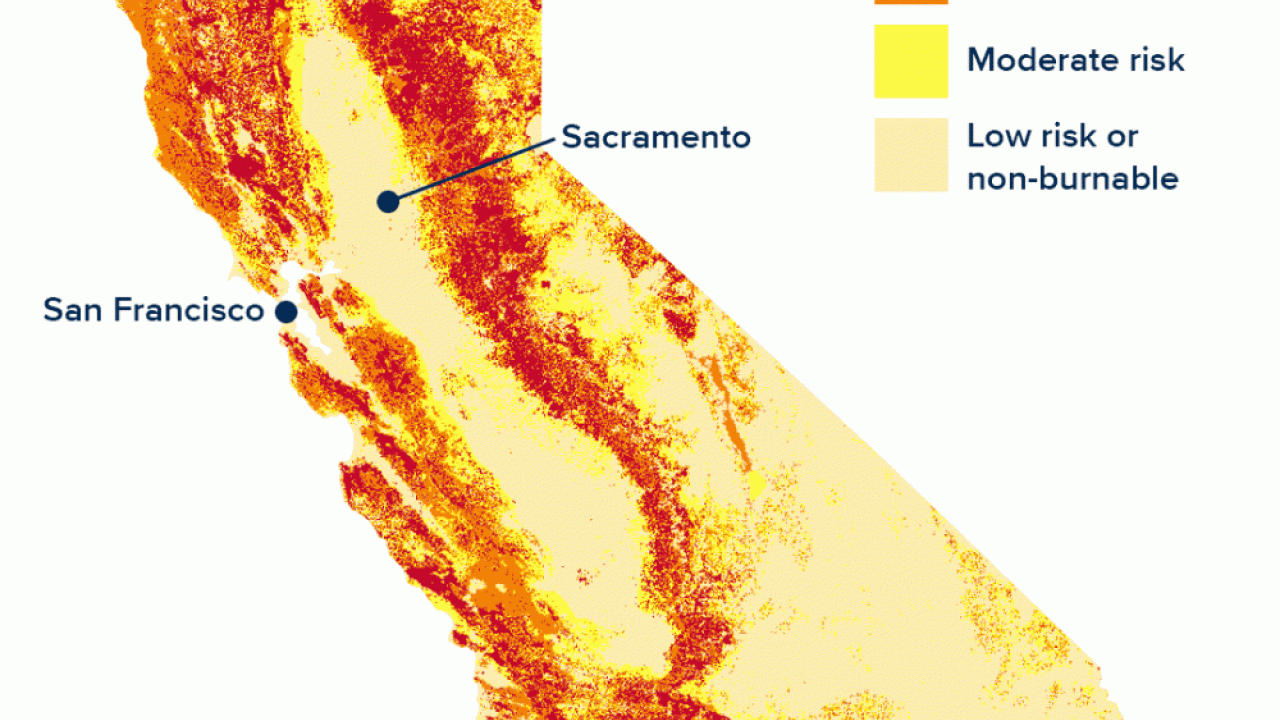
Sept. 30, 11 a.m. — Fire has always been part of the Western landscape, but the fire season gets longer and more severe every year. So far this year, California has seen four of the largest wildfires in its history, and the Dixie Fire, the second-largest in state history, is still burning after two months.
Fire is part of our future. What can we do to protect homes, neighborhoods and communities and make them more resilient to fire hazards? Hear from two UC Davis experts on these and related questions Sept. 30.
- Michele Barbato is a professor of civil and environmental engineering and co-director of the Climate Adaptation Research Center at UC Davis. He studies natural hazards to buildings and other structures including fires, earthquakes, hurricanes and tornadoes, and how structures can be designed to be more resilient to such hazards.
- Jim Thorne is a research scientist with the Department of Environmental Science and Policy. He has studied how climate change impacts California’s native vegetation and wildfire risk, and how planning decisions can reduce or mitigate the risk from wildfires.
The conversation, hosted by Soterios Johnson, will be streamed live on Facebook and YouTube beginning at 11 a.m. Thursday, Sept. 30.
Questions can be submitted via Facebook and Twitter either in advance or during the show.
Media Resources
Media Contact:
- Andy Fell, News and Media Relations, 530-304-8888, [email protected]